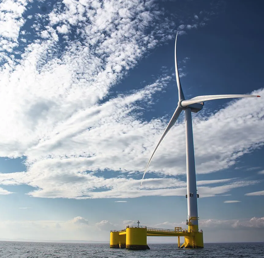
Scope of work
Update of existing ground model and production of a Geotechnical Interpretive Report (GIR). Detailed ground model using 9000 km of 2D UHR and over 500 geotechnical locations. The extensive participation of Global Maritime in the Berwick Bank project has allowed for the development of several innovative tools, such as the WebGIS, Survey Management Platform (SMP) integrated with OPSIM, Unifier, adaptive CBRA tool and others. Global Maritime also completed Probabilistic Subsurface Boulder Assessment using geophysical and geotechnical data and has supported multiple geotechnical survey campaigns.
Challenges
- Complex geological setting: Berwick Bank is located on a complex geological setting which has undergone multiple glaciation events. The main challenges of producing a detailed ground model for such a large area included the geophysical data gaps and line separation in a complex geological setting, high lateral variability, offset of some of the geotechnical locations in relation to the geophysical lines and data quality.
Outcome – Results and Deliverables
During the GIR development, Global Maritime created a web-based platform (WebGIS) to present ongoing work and results. It has been widely used internally—connecting geoscience disciplines—and externally by SSER and their contractors. Additionally, Global Maritime developed two new tools to manage geophysical and geotechnical surveys (SMP), along with an integration tool (The Unifier) that consolidates geological, geophysical, and geotechnical data. Together, these tools improve project management, collaboration and reduce risk.
Global Maritime has gained in-depth knowledge of the site conditions and has supported SSER’s project team through a variety of scopes. A second phase of ground model update in Phase B has produced significant savings in terms of foundation installation, producing a more accurate depth to rockhead, confirmed by subsequent geotechnical investigations.
A separate study on cable routes, integrated soil and thermal properties enabling a detailed electrical engineering study, sectionalizing core sizing for optimum cable manufacture adapted to the conditions. This produced ~$24M savings in cable materials, with estimated further savings in the installation phase.