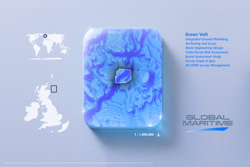
Scope of work
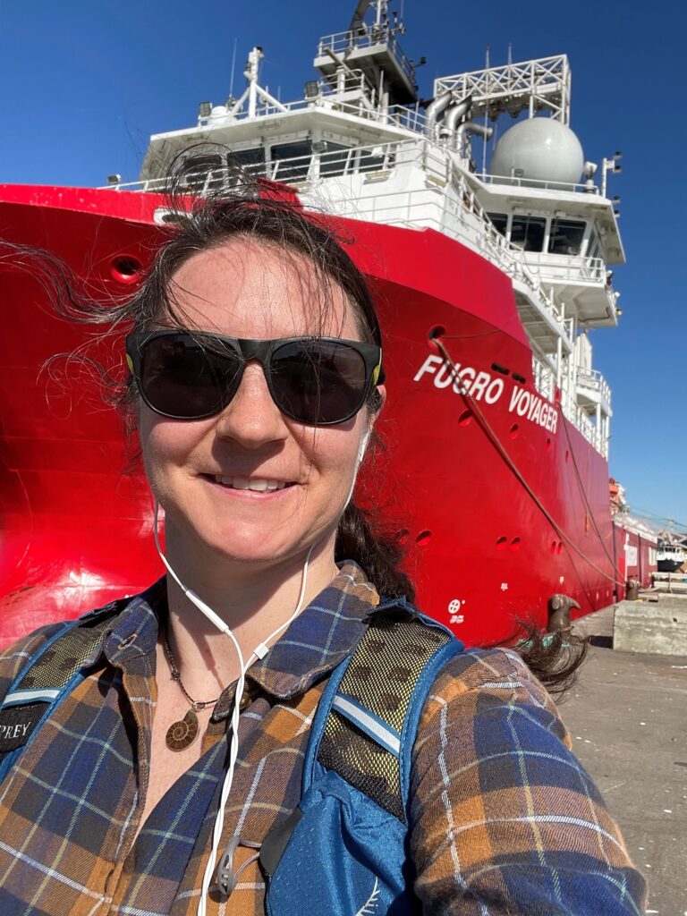
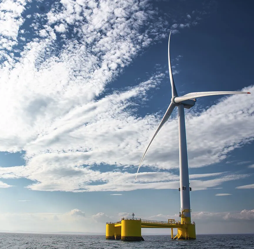
Procurement and management of combined 3D UHRS and seabed geophysical survey, to achieve 100% coverage of a 500 MW floating offshore windfarm site. Market dialogue, technical and commercial evaluation of multiple tenders before supporting our client with contract close out. Cost estimation for commercial evaluation and budget planning using GM OPSIM. Preparation for mobilization, provision of Offshore Client Representatives (OCRs) and daily management of survey activities using GM Survey Management Platform (SMP). Once operations were verified as complete, review and management of deliverables.
Challenges
The survey involved the largest 3D UHRS seismic array used in offshore wind to date (5 sources and 14 streamers, 168.75 m in length) as well as multibeam echosounder, sub-bottom profiler, side scan sonar and magnetometer. Given the challenging scope with focus on both 3D UHRS and seabed data coverage, the survey management approach required to be a balanced mix of constructive support and fair challenge from the OCRs and onshore management. The vessel had a relatively high day-rate and the operations had to be managed proactively to ensure the objectives were achieved ahead of upcoming geotechnical investigations and with the client’s budget not exceeded.
Outcome – Results and Deliverables
The survey was completed on time, within budget and with no significant incidents. Data quality and coverage achieved required specifications, despite initial challenges posed by the seabed sensors.
OPSIM analysis provided an accurate estimation of survey duration, with completion date of survey activities predicted within 2 days, allowing management of potential SIMOPs with the geotechnical contractor. The SMP allowed daily assessment of project spend and accurate calculation of time and budget available for infill activities to maximise data acquisition whilst not passing the budget ceiling.
Survey data was of high quality and provided key inputs to project development.