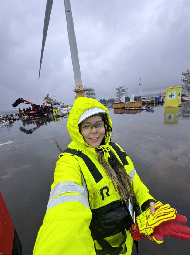
Scope of work
- Independent design review of WTG layouts, IAC and ECR options, monopile and TP, OSP jackets and topsides
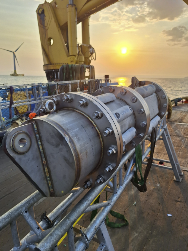
- Engineering of feasible and economical cable installation, burial and O&M methods
- Analysis and definition of requirements for on bottom stability & CPS
- Technical appraisal of non-burial cable protection design, engineered for site specifics – including bank crossing
- Cable route layout design
- Cable Burial Risk Assessment and BAS
- Design risk assessment and mitigation identification
Challenges
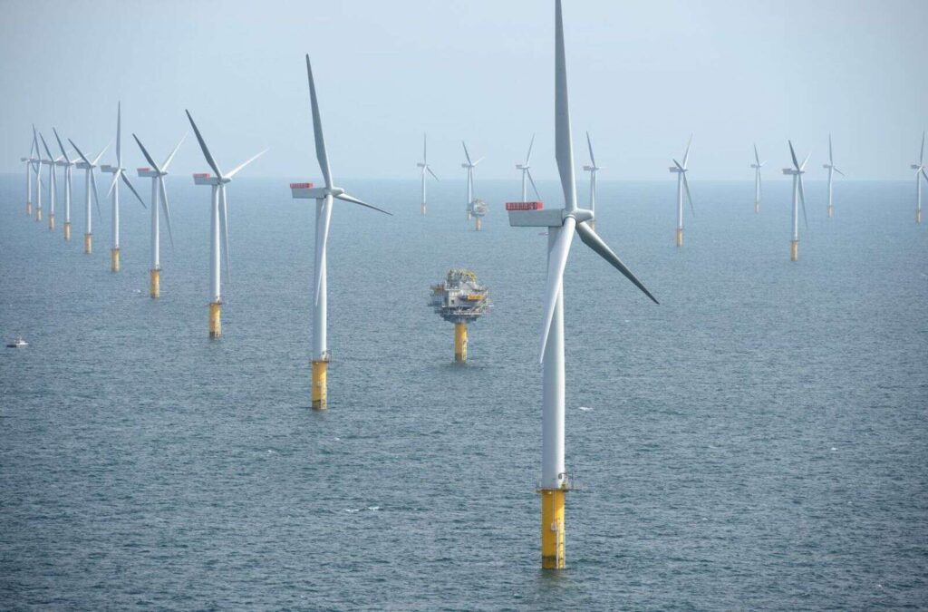
- Arklow Bank geography is challenging, both in terms of geological context, and metocean conditions. The dominant feature of the site is the sand bank in the centre of the field.
- High currents and wave conditions, combined with low water depths, have the potential to limit operability, as well as cause stability and scour issues during installation and operational phases.
- The bank is surrounded by mobile sediments and sand waves, particularly in the southern half of the site, where wavelengths of 150m-200m, amplitude of 5m-8m, and migration rates of up to 12m/year are observed.
Outcome – Results and Deliverables
Using an experienced team of master mariners and naval architects to review vessel operability and installation operations, and Global Maritime Geosciences to review the particular seabed characteristics and dynamics, key risks have been determined and integrated into an overall assessment of constructability and risk. GM deployed their industry leading 3D CBRA model to map risk isopachs throughout the wind farm, modelling cable risk.
GM developed comprehensive spatial constraint mapping, and re-routed existing cables to optimise for site conditions. Using advanced spatial analysis, and the insight from our master mariner and marine operations colleagues, GM applied a full 3D assessment of cable risk along a route corridor with optimised assessments of vessel risk for each individual vessel crossing, modelling seabed characteristics and analysing vessel traffic crossing route alignments with AIS data.
Our in-depth pre-FEED study has saved £12Million+ compared to the base case by reducing inter-array cable lengths, and especially cable lengths located in high-risk areas where previously high mobility meant onerous burial conditions or high likelihood of exposures in the asset’s lifetime. Furthermore, assessments of operational time calculated using OPSIM were used to effectively plan the programme of installation and burial campaigns.